Centre aims to strengthen digital monitoring of rural water, sanitation schemes
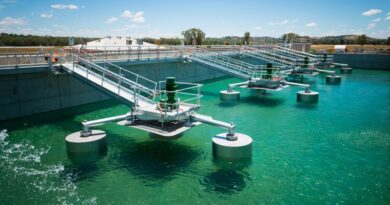
The Centre plans to map all drinking water assets created under its ambitious Jal Jeevan Mission (JJM) on PM Gati Shakti, a Geographic Information System (GIS)-based platform, as well as strengthen digital monitoring of rural water and sanitation schemes.
The Union Jal Shakti Ministry has tied up with Bhaskaracharya National Institute for Space Applications and Geo-informatics (BISAG-N), an autonomous scientific society under the Union Ministry of Electronics and Information Technology (MeitY), for development of GIS-integrated decision support platform for Jal Jeevan Mission and Swachh Bharat Mission (Grameen).
The new platform will enhance data-driven decision-making, planning, monitoring, and evaluation of rural water supply and sanitation initiatives across the country.
The platform will also support the creation and mapping of rural piped water supply schemes (RPWSS), enabling unique scheme-level IDs and will allow for granular monitoring of water delivery at the household level, facilitating convergence with other rural infrastructure initiatives.
Under the agreement, BISAG-N will provide end-to-end support including database design, map creation, data migration, software development, and systems integration. The platform will also incorporate advanced features such as ground control surveying, digital photogrammetry, vector data capture, and thematic mapping.
According to an official statement, the initiative will be aligned with the PM GatiShakti National Master Plan, enabling seamless integration of water and sanitation infrastructure with other sectoral assets. This convergence will help in optimizing resource allocation, improving service delivery, and accelerating infrastructure development in rural areas.
This collaboration aligns with the Centre’s Digital India vision of harnessing technology for inclusive and sustainable development, particularly in rural areas. By integrating spatial intelligence with mission data, the Department of Drinking Water and Sanitation (DDWS) and BISAG-N aim to create a robust digital ecosystem that supports effective planning and monitoring of rural water and sanitation services.