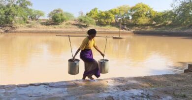
Global urban growth getting highly exposed to flood risks
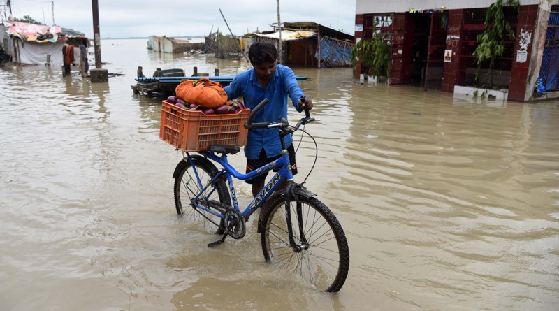
Despite the increased exposure to extreme weather events like floods, several countries are not sufficiently adapting to climate change but, on the contrary, increasing the exposure to flood hazards, a new research study has warned.
In a recent article published in the journal Nature, a team of researchers noted that human settlements are expanding into hazardous flood zones faster than in safe areas. The team analysed statistics on urban settlement patterns between 1985 and 2015 and compared this to the evolution of flood exposure of settlements over time.
Disaster losses are increasing and evidence is mounting that climate change is driving up the probability of extreme natural shocks. Yet it has also proved politically expedient to invoke climate change as an exogenous force that supposedly places disasters beyond the influence of local and national authorities, the team noted.
“However, locally determined patterns of urbanization and spatial development are key factors to the exposure and vulnerability of people to climatic shocks6. Using high-resolution annual data, this study shows that, since 1985, human settlements around the world—from villages to megacities—have expanded continuously and rapidly into present-day flood zones”.
In many regions, growth in the most hazardous flood zones is outpacing growth in non-exposed zones by a large margin, particularly in East Asia, where high-hazard settlements have expanded 60 per cent faster than flood-safe settlements. These results provide systematic evidence of a divergence in the exposure of countries to flood hazards. Instead of adapting their exposure, many countries continue to actively amplify their exposure to increasingly frequent climatic shocks, the team wrote in the research article.
The research shows that urban settlements grew by 85 per cent in the 30-year period to a total surface area of 1.28 million km². By contrast, settlement in areas exposed to high flood risk grew by 122 per cent, indicating that high-risk settlement grew 60 per cent faster than safe settlement.
The study made use of a combination of high resolution global flood hazard data produced by Fathom and the World Settlement Footprint Evolution data produced by the German Aerospace Centre. By combining these data sets, the researchers were able to track both the speed and the shape of urban expansion from small rural settlements through to large urban conglomerations. They showed that urban settlements covered 693,000 km² in 1985 and covered 128,000,000 km² in 2015.
There was, however, a disproportionate degree of settlement in high-risk areas.
Only in recent years, high-resolution flood hazard maps and settlement footprint data has become available, suggesting that this information needs to be systematically integrated into urban planning systems. Previous estimated of flood risk exposure have been made, but these studies were not sufficiently detailed either in their spatial resolution or had large time gaps between observations. The continuously evolving urban shapes need to be tracked accurately and regularly in order to mitigate flood risk.
There is some evidence from case studies of the dynamics that underlie settlement in these areas: when safe spaces are already occupied, the researchers argue, new developments can occur disproportionately in riverbeds, on flood plains and in wetlands. In making settlement decisions, there is a trade off to be made between market accessibility and potential on the one hand, and risk exposure on the other hand. In addition, information on these risks may be lacking, the market cost of this new land may not reflect the associated risks, and people may have a bias towards locating in areas close to the water.
This dynamic appears to be especially prominent in Asia. Evidence from India shows that low income rural-urban migrants arriving in Mumbai are faced with high density settlements and large price differences between areas, forcing new arrivals into previously avoided areas. Similarly in Ho Chi Minh city, informal, poor settlements are systematically exposed to higher flood risks than the rest of the city.